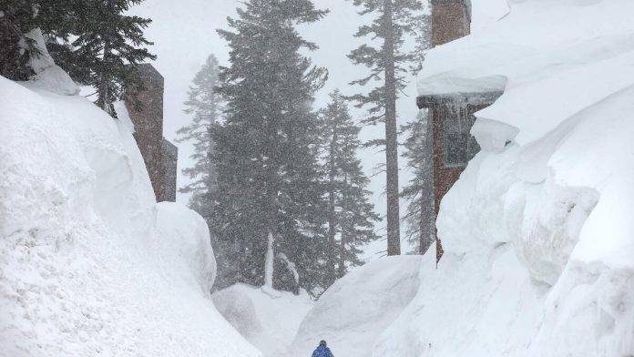
California is experiencing a rapid snowpack melt due to a spell of warm and dry conditions. This week, the state is set to see accelerated melting, particularly in the central and southern Sierra Nevada regions. The Merced River at Pohono Bridge and the Tuolumne River at Hetch Hetchy in Yosemite National Park are expected to reach their peak flows on Sunday.
According to David Rizzardo, hydrology section manager at the California Department of Water Resources, both above-average temperatures and strong sunlight are driving the melt. Rizzardo explained that solar radiation is a key factor, as it warms the snowpack to the point where it begins to melt.
The early melt-off means that streamflows will likely be below average in June and July, potentially increasing wildfire risks. Brett Whitin, a service coordination hydrologist at the California Nevada River Forecast Center, noted that mountains usually covered by snow through early summer may dry up earlier than normal.
The snowpack is vital for California’s water resources, as it provides around 60% of the state’s fresh water. However, climate change is causing snowpacks to melt earlier, affecting water availability and ecosystem balance. This year, the statewide snowpack was considered “unusually average,” which helps prevent rivers from reaching flood stage despite the rapid melt.
As the snowpack melts, it feeds seasonal waterfalls like Yosemite Falls, which draws water from Mount Hoffman. Cory Goehring, senior naturalist at Yosemite Conservancy, mentioned that temperatures in Yosemite Valley are expected to be in the 80s, causing more water to flow down the falls.

Recent Comments