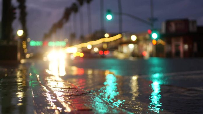
LOS ANGELES (CNS) – The second in a pair of back-to-back storm systems is moving through the Southland Friday, keeping public works crews and first responders on alert for possible debris flows.
Light rain again began falling in the Los Angeles area Thursday afternoon, but forecasters said the brunt of the storm was expected to hit the Southland during the overnight hours.
While tensions were high in recent burn areas due to fears of mud and debris flows, National Weather Service forecasters reiterated their belief that the storm was unlikely to trigger any major flooding issues.
According to the NWS, rainfall rates over much of the area “are expected to top out around a third of an inch per hour. For this reason, chances for rain rates to reach a half-inch per hour in the burn scars remains at 10% or less.”
“For the most part this storm should just bring the area beneficial rains with minimal impacts,” according to the NWS. “But there will be small areas of heavier rain rates that will need to be monitored closely overnight. Snow levels will be 8,000 feet or higher for most of the event, though with cooler air coming in late Friday night and increasing northwest flow, parts of the Grapevine region could see some light snow down to around 6,000 feet.”
Forecasters added that the snow is “not expected to be an issue for the Grapevine on Interstate 5.”
The rain is expected to taper off Friday morning, although some lingering light showers are possible Friday afternoon, primarily in the mountains. But otherwise, “dry but cool weather” is expected through the weekend.
More rain is likely in the region next week, with the potential for 3 to 6 inches falling Wednesday into Thursday.
Rain first began dousing the area Tuesday into Wednesday, although that initial storm turned out to be weaker than anticipated. Cloudy and drizzly conditions prevailed Wednesday evening and Thursday morning prior to the next storm’s arrival.
Less than an inch of rain is expected to fall in Los Angeles and Ventura counties during the latest storm.
“The current best estimate is for around a half inch for almost the entire area with higher amounts on the coastal slopes,” according to the NWS. “There is about a 30% chance that the storm will produce 0.75 to 1.00 inches of rain with higher amounts on the coastal slopes.”
Due to the precipitation and fears of possible mud or debris flows, Caltrans closed Pacific Coast Highway at 3 p.m. Tuesday between Chautauqua Boulevard in Los Angeles and Carbon Beach Terrace in Malibu. The road is expected to remain closed until at least Friday.
“Out of an abundance of caution, the highway must be closed due to soft soils on both the hill and ocean sides of the road,” according to a statement from Caltrans. “Mud and debris flows may occur and canyons may overtop, blocking the road or causing further damage.”
Only essential workers — such as first responders, recovery agencies and utility companies — will be able to access PCH in the closure area, according to Caltrans.
Residents with passes will still be able to return to their homes in Pacific Palisades via Chautauqua, according to Caltrans.
PCH had just reopened Monday with one lane of traffic in both directions between Santa Monica and Malibu, a stretch that was largely closed since Jan. 7 due to the Palisades Fire.
In advance of the rain, the Los Angeles County Department of Public Works worked to clean drainage facilities and debris basins, install additional k-rails near homes and provide sandbags at vulnerable sites.
County storm preparedness actions included:
— Debris Basin and Flood Control Maintenance. Public Works crews have been clearing storm drains, catch basins, and debris basins in vulnerable burn areas, removing over 400 cubic yards of mud and debris in Sunset Mesa alone.
— Infrastructure Reinforcements. With support from the California Office of Emergency Services, the county has deployed 679 feet of k-rail and over 1,500 sandbags in key locations within the Palisades and Eaton burn areas to slow runoff and prevent dangerous debris flows.
— Beach and Water Quality Protection. The county is actively working with beaches and harbors, the Department of Public Health, and state and federal agencies to prevent post-fire debris from polluting local beaches and coastal waters.
— Community Resources and Support. Free sandbags and flood risk assessments remain available to residents at designated locations, including the La Costa Post Office at 21229 PCH in Malibu.
Residents were urged to clear drainage paths around their properties, install sandbags to direct runoff away from homes, avoid travel in burn areas and mountain roads during heavy rainfall and sign up for emergency alerts at ready.lacounty.gov.

Recent Comments