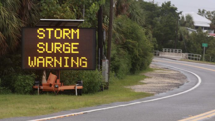
Tropical Storm Debby intensified into a Category 1 hurricane as it continues to move toward the Big Bend stretch of Florida’s Gulf Coast ahead of expected landfall Monday (August 5) morning, CBS News reports.
Debby is the fourth named storm reported during Atlantic hurricane season, the National Hurricane Center announced on Saturday (August 3). The agency predicted Debby would bring drenching rain and coastal flooding, which would begin Sunday (August 4) night.
“There is a danger of life-threatening storm surge along portions of the Gulf Coast of Florida, with 6 to 10 feet of inundation above ground level expected somewhere between Ochlockonee River to Yankeetown late tonight and Monday morning,” the National Hurricane Center wrote at around 11:00 p.m. ET. “Residents in the Storm Surge Warning area should follow any advice given by local officials.”
The storm was reported to be located about 100 miles west-northwest of Tampa at around 8:00 p.m. local time on Sunday, the National Hurricane Center said in an advisory shared at the time. A storm intensifies into a hurricane after reaching maximum sustained winds of at least 74 MPH, with Debby reported to be moving north-northwest at 12 MPH with maximum winds of 75 MPH.

Recent Comments