
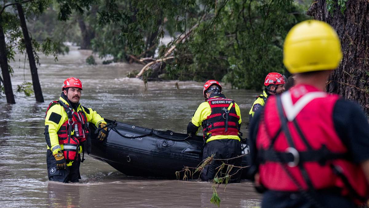

Dangerous flooding continues across South Texas as slow-moving storms bring days of heavy rain, leading to dozens of high-water rescues and warnings for more potentially life-threatening flash floods. According to the National Weather Service, some areas could receive up to 20 inches of rain before the storms move out, with the heaviest rainfall expected through Thursday evening.
The hardest-hit region has been Uvalde County, where up to 16 inches fell in just 24 hours and emergency crews carried out at least two dozen water rescues. Video footage shows floodwaters covering roads, and local officials set up a shelter to help people displaced by the flooding. The Texas Tribune reports that nearby counties, including Medina, Bandera, and Kerr, are also under flash flood warnings, with multiple road closures and rivers like the West Nueces and Sabinal rising rapidly.
The weather service said a tornado touched down Wednesday morning in northwestern San Antonio near Interstate 10, but there were no immediate reports of injuries. Meteorologists explained that the event is part of a typical Texas mid-summer tropical weather pattern, with tropical moisture from the Gulf of Mexico fueling the relentless rainfall. They warned that already saturated ground means any additional rain will quickly run off, worsening flood conditions.
Governor Greg Abbott has issued disaster declarations for dozens of counties, making more resources available for response and recovery. The governor urged residents to monitor local weather, avoid flooded roads, and have emergency supplies ready. Texas Game Wardens and local authorities continue to carry out swift-water rescues. So far, there have been no reports of deaths or serious injuries.
Forecasters expect the worst of the rain to ease by Friday, but scattered flooding may still occur through the end of the week. Residents are urged to stay alert and follow local emergency guidance as conditions can change quickly.
Recent Comments