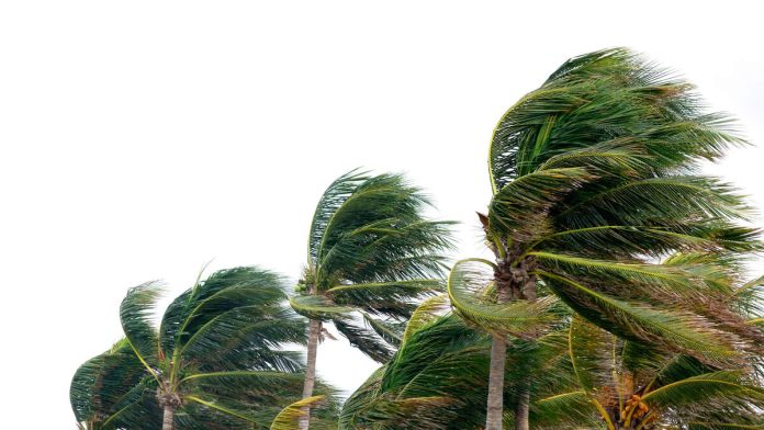
LOS ANGELES (CNS) – Santa Ana winds raged across parts of the Southland again Friday, with some overnight gusts recorded at more than 70 mph, and forecasters said the windy weather is expected to continue into Sunday.
The Santa Ana conditions are expected to peak Friday and Saturday but linger until Sunday, with “advisory-level winds” occurring each day.
“The winds will be concentrated through the usual Santa Ana Wind Corridor roughly 10 miles either side of a line drawn from the Santa Clarita Valley to Point Mugu,” according to the National Weather Service. “The winds will also follow a diurnal pattern with the strongest winds occurring in the morning and relaxing later in the afternoon.”
According to the NWS, a wind gust of 79 mph was recorded early Friday morning at the Magic Mountain Truck Trail. Other mountain areas saw gusts topping 50 mph, while parts of the San Fernando Valley had winds over 40 mph, including a 42 mph gust recorded around 4:30 a.m. in Chatsworth.
A high wind warning will be in effect until 3 p.m. Friday in the western Santa Mountain Mountains Recreational area, but warnings will remain in place until 1 p.m. Sunday in areas such as the San Gabriel Mountains and the Antelope Valley (14) Freeway corridor.
Wind advisories will be in effect until 1 p.m. Sunday in the western Antelope Valley Foothills, Santa Clarita Valley, Malibu, eastern Santa Monica Mountains, Calabasas, Agoura Hills, western San Fernando Valley and the Golden State (5) Freeway corridor.
“Damaging winds could blow down trees and power lines,” forecasters warned. “Risk is increased due to recently saturated soils. Widespread power outages are possible. Travel will be difficult, especially for high profile vehicles.”
The Santa Ana winds will bring some slight warming to the area over each of the next three days, but temperatures will still be a few degrees below normal through Saturday. Temperatures could push slighly above normal in most areas by Sunday, with highs generally around 70, according to the NWS.
Winds are expected to continue into next week, although likely dropping below advisory levels in most areas. Temperatures will continue to inch upward, with some valley areas reaching 80 degrees by Wednesday or Thursday, forecasters said.

Recent Comments