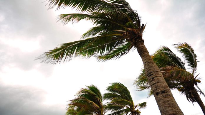
LOS ANGELES (CNS) – Santa Ana winds are expected to whip through the Southland Friday and Saturday, pushing temperatures upward and raising concerns about possible wildfires.
“By mid to late morning Friday the strongest winds will be in the usual Santa Ana-prone areas, which includes the Highway 14 corridor from Acton to Fillmore, including the surrounding San Gabriel Mountains, western San Fernando Valley, Simi Valley, the Conejo Valley, Santa Monica Mountains, Malibu Coast especially east of Point Dume, and the Oxnard/Camarillo plain,” according to the National Weather Service.
Winds are anticipated to peak at about 55 mph in the mountains and up to 45 mph in coastal and valley areas.
As is typical with Santa Ana winds, the gusts will peak in the late morning and early afternoon Friday, then subside during the evening hours before kicking up again late Friday night and continuing into Saturday afternoon, according to the NWS.
The winds will also bring about drier conditions, with humidity levels expected to drop to the 5% to 15% range both days.
The combination of gusting winds and low humidity prompted the NWS to issue a red flag warning of critical fire danger that will be in effect from 9 a.m. Friday through 6 p.m. Saturday. The warning will affect the Santa Clarita and San Fernando valleys, the Santa Monica Mountains Recreational Area, Calabasas, the San Gabriel Mountains and the 5 and 14 Freeway corridors.
“If fire ignition occurs, conditions are favorable for rapid fire spread and extreme fire behavior which would threaten life and property,” according to the NWS.
The winds should taper off by Sunday, “but the combination of lingering offshore flow and a warming air mass should keep temperatures quite warm for coast and valleys, possibly close to 90 in the warmer valleys and low to mid 80s at the coast,” forecasters said.

Recent Comments