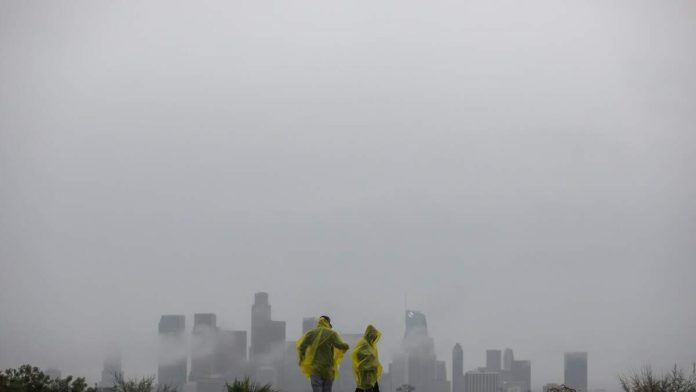
Southern California experienced its wettest Christmas Eve and Christmas Day on record, a dramatic shift from the extreme drought conditions that dominated the region just one year ago.
According to reporting by the Los Angeles Times, Santa Barbara Airport recorded nearly five inches of rain over the two-day period, shattering a record that had stood since the 1950s. Other parts of the region also saw historic totals, with mountain areas receiving more than 10 inches of rain, contributing to flooding concerns across multiple counties.
The powerful holiday storm marks a stunning reversal from last winter, when Southern California faced a bone-dry season that, combined with intense winds and record heat, helped fuel destructive wildfires in communities such as Altadena and Pacific Palisades. This year’s rainfall has helped replenish moisture in dry brush and soils, temporarily easing drought conditions.
Meteorologists say the region is now experiencing one of the wettest starts to the water year on record, which began Oct. 1. Scientists warn the rapid swing from extreme dryness to intense rainfall reflects a broader pattern linked to climate change, often described as “hydroclimate whiplash.” The phenomenon refers to increasingly dramatic shifts between drought and deluge, which experts say are becoming more common as the planet warms.
Flood watches and evacuation warnings remained in effect in several vulnerable areas, including recent burn scars where saturated soil raises the risk of mudslides and debris flows. Officials urged residents to remain cautious as additional rain moved through the region, even as skies were expected to gradually clear heading into the weekend.
Weather experts caution that while the rain brings much-needed water, the intensity of these storms underscores the growing challenges Southern California faces in managing both wildfire risk and flood danger in an era of more extreme weather.

Recent Comments