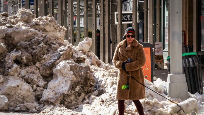
Eastern states are bracing for two more rounds of snow and continued bitter cold this week, as a series of winter weather systems move across the region from Tuesday (February 3) through the weekend. The first system, a weak Alberta clipper, will sweep from Indiana through southern Ohio to West Virginia starting Tuesday morning and lasting into Wednesday, bringing one to two inches of snow and slippery roads. Snow could reach Washington, D.C. and southern New Jersey by Tuesday night.
The National Weather Service has issued Winter Weather Advisories from southern Indiana to West Virginia, warning of hazardous travel conditions. This winter is already among the snowiest in recent years for many communities, with Cincinnati, Ohio receiving over 24 inches—more than 11 inches above average.
While the current storm will bring only moderate accumulations, a stronger system is expected late Thursday through Saturday. This second round will impact the Great Lakes and Northeast, including the Interstate 95 corridor, with one to three inches of snow and wind gusts up to 40 mph. These gusts may cause sudden whiteouts and dangerous travel conditions on Friday afternoon and evening.
As these systems move through, arctic air will persist, keeping temperatures well below normal. The polar vortex is forecast to extend the extreme cold spell across much of the East, making this one of the coldest winters in decades for cities from the Ohio Valley to New England, according to the February outlook.
Meanwhile, rain is expected in the South as far north as Tennessee and North Carolina. This rain could help melt lingering ice from last week’s deadly ice storm, which caused power outages in Mississippi and Tennessee. However, colder air will return after the rain, raising the risk of refreezing and new icy spots on roads.
The late-week storm could linger through Saturday before moving off the coast. Forecasters say details about snowfall amounts and whether the system will intensify remain uncertain and will be refined as the event approaches. Residents are encouraged to stay updated on changing conditions and prepare for potential travel disruptions and continued cold.

Recent Comments