California’s Sierra Nevada snowpack has significantly diminished despite a promising start to winter, measuring just 59% of the historical average for early February, according to recent surveys by state officials.
“We are now about halfway through the typically wettest part of the year,” said Andy Reising, manager of snow surveys for the California Department of Water Resources. “We still have February and March, but each dry week we have will make it more difficult to catch up,” he told the Los Angeles Times.
The decline represents a sharp reversal from just three weeks ago when statewide snowpack stood at 89% of average following late December and early January atmospheric rivers. Since then, warm temperatures and dry conditions have eaten away at snow reserves.
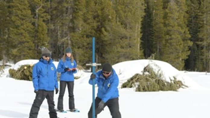
At Phillips Station near Lake Tahoe, where officials conduct manual measurements, surveyors found only 23 inches of snow, representing 46% of average for this time of year. Electronic readings from 130 monitoring stations across the mountain range reveal a stark north-to-south divide, with the Northern Sierra at just 44% of average, while Central and Southern regions measure 60% and 78% respectively.
Climate scientists attribute the diminishing snowpack partly to record warmth across the Western U.S. this winter. California was among nine Western states that experienced their warmest December on record, according to the San Francisco Chronicle. These high temperatures have caused precipitation to fall as rain rather than snow, especially at lower elevations.
“This is probably going to get considerably worse in the coming days,” said Daniel Swain, a climate scientist with UC Agriculture and Natural Resources. “Right now, it would take a miracle March and then some, really throughout this entire region, to really bolster the snowpack.”
Despite the concerning snowpack measurements, California’s overall water situation remains stable. The state has received robust rainfall this season, with statewide precipitation running about 120% of average for this point in the water year. Major reservoirs are well above normal levels after three consecutive years of average or above-average precipitation. Shasta Lake, California’s largest reservoir, currently holds 124% of what it typically contains this time of year.
For the first time in 25 years, no part of California is experiencing drought conditions, according to the U.S. Drought Monitor. However, water experts caution that the situation could change quickly.
“This year could still become a drought if the amount of rain we’ve gotten over the past three weeks continues for the next two months,” said Jay Lund, an emeritus professor at UC Davis and water scholar.
The National Weather Service doesn’t forecast significant precipitation across most of California for at least the next week, and the Climate Prediction Center anticipates drier than average conditions for the remainder of winter.
California relies on Sierra snowpack for approximately 30% of its water supply. The snowmelt is particularly valuable because it comes in spring and summer, helping to meet water needs after the wet season ends.

Recent Comments