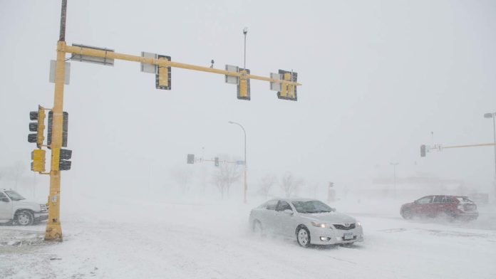
A powerful nor’easter is set to hit the East Coast, bringing a mix of rain, ice, and snow from Monday night (December 1) through Wednesday (December 3). This storm marks the first of the La Niña winter season, which is expected to bring more frequent nor’easters along the Eastern Seaboard. The storm is predicted to impact the densely populated Interstate 95 corridor, with heavy rain likely causing travel delays at major airports including those in Washington, D.C., Philadelphia, Newark, New York City, and Boston. According to the Fox Forecast Center, a sharp boundary between rain and snow is expected to set up just inland of I-95.
Winter Storm Watches have been issued for parts of central and upstate New York, western Massachusetts, southern Vermont, southern New Hampshire, and southern Maine. These areas are forecast to receive the heaviest snow, with up to 8 inches expected in some regions. Higher elevations in the Appalachians, Pennsylvania, and northern New Jersey could see ice accumulation, which poses a danger to drivers and pedestrians.
The National Weather Service has noted that La Niña conditions, characterized by cooler ocean temperatures in the Pacific, are expected to influence this winter’s weather patterns. This typically results in drier conditions in the southern United States and wetter conditions in the northern regions. NOAA’s Climate Prediction Center anticipates that drought conditions could worsen in the central and southern Plains due to these patterns.
As the nor’easter moves up the coast, it is expected to clear out by Wednesday morning, but another round of colder arctic air could bring slick roads to the East Coast by Thursday (December 4).

Recent Comments