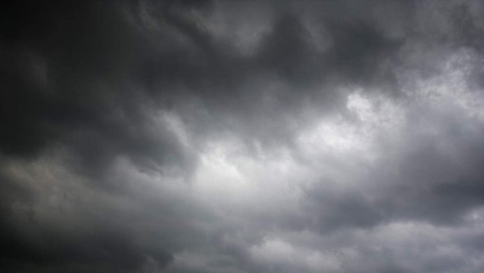
LOS ANGELES (CNS) – Tropical moisture brought September rains and thunderstorms to Southern California Thursday, making for treacherous driving and fueling fears of flash floods and mudslides in recently burned areas.
The first rains of the fall caused the usual slicking of roads and several crashes followed on Los Angeles area freeways.
The region is in the grip of a muggy heat wave that will yield to monsoonal moisture early Thursday, according to the National Weather Service. Temperatures will drop significantly from Wednesday’s highs, but humidity will remain elevated, as high as 69% in Los Angeles County, forecasters said.
Remnants of Tropical Storm Mario could dump up to 2 inches of rain in some areas. A flood watch was in effect as of 5 a.m. Thursday for a wide stretch of the region, including Pacific Palisades, which was devastated by January’s wildfire.
“Localized flooding in roadways & low areas is possible & there is a 20% chance for minor debris flows from recent burn scars, and 15% for more significant debris flows,” according to a statement from the NWS’ Los Angeles/Oxnard office. “The greatest concern is for the Eaton, Palisades, Bridge, Post, Franklin, Hurst, Hughes and Lake.”
Los Angeles Mayor Karen Bass’ office said the city was monitoring the forecast, and coordinating with the Emergency Management Department, the fire and police departments, the recreation and parks department and the Los Angeles Department of Water and Power to ensure all are ready to respond as needed.
“It’s important to understand that this pattern is very different from a traditional winter storm and even from our typical summer afternoon convection,” the NWS said. “While most areas will get at least some rain, some areas may get little to none, while others just a short distance away could have flooding.”
Highs are expected to reach 81 in downtown Los Angeles on Thursday and 80 on Friday, with similar numbers in most inland county areas.
Overnight lows will be warmer than normal into early next week as the moisture aloft will trap a lot of the heat from the daytime. Overnight temperatures in the upper 60s and low 70s are expected to be the norm in the inland areas.
The high humidity levels will continue into early next week, with a slight chance of showers as additional moisture from the south arrives.

Recent Comments